*Updated at 9 AM Monday to change timing of rainfall*
Computer projections have been very consistent over the past couple days, so I can confidently say that some much needed rainfall will return to our area next Monday into early Tuesday.
It's looking like this will come in two waves. The first round of rainfall will arrive around 11 AM Monday, where showers and isolated thunderstorms are possible. This round will exit around 5 PM.
The second wave will arrive Monday evening and Monday night, when the core of the system passes overhead. There is a better chance for thunderstorms during this time. These can bring downpours, wind and possibly hail.
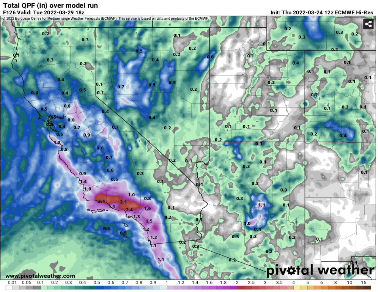
Rain totals will range from 0.5 to 1.5" across the area, with isolated areas getting 2.0"
Snow levels will stay fairly high with this system, so local mountains might see some snow, but no accumulations. However, the highest peaks in the San Bernardino and San Gabriel Mountains will receive several inches of snow.
Most of the precipitation will exit by early Tuesday morning. I'll keep an eye on this storm and bring updates if needed.
 |
| Computer projected rain totals through next Tuesday morning |
 |
| Computer projected rain totals through next Tuesday morning |
 |
| Computer projected snow totals through next Tuesday morning |

No comments:
Post a Comment