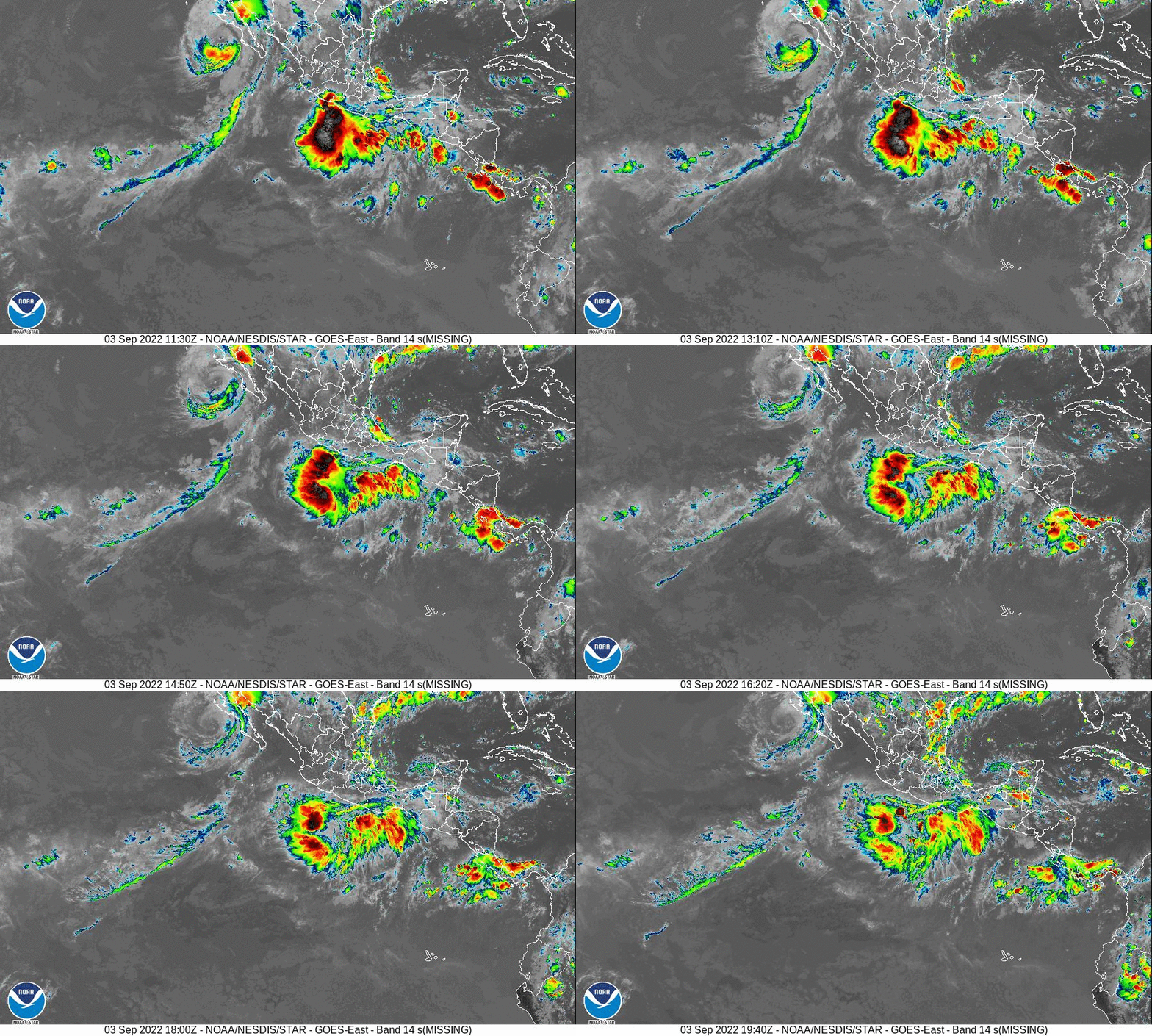
As always during this time of the year, all eyes are in the tropics. We currently have Javier off the coast of the Baja, but most of the data show this storm floating westward into the Pacific.
There is another disturbance farther south that has more potential. Most of the data has this system developing into a hurricane in the coming days. The latest projected paths have it hugging the coast of the Baja as it migrates northwestward. I've included the projections below.
It is too early to tell if this will have an impact in San Diego. Computers are notoriously bad with long term projections for tropical systems. I'll keep an eye on it!


