
A band of showers is currently moving across San Diego County - seen on the radar loop below. This band of showers will dissipate from noon to 2 PM, so most areas should be completely dry by late afternoon.
This pesky storm system has been parked out in the Pacific for the past few days. It is cut off from the guiding winds in the upper atmosphere, so it's difficult to forecast. However, it looks like it will finally migrate overhead Monday and Tuesday.
There isn't mush moisture associated with system, so rain chances are low. Regardless, an isolated shower could pop up at any time Monday or Tuesday. Snow levels will be high, so no snow is expected in local mountains.
Long range forecast still generally looks dry, though an occasional shower could pop up from time to time. There are hints of a slight pattern change by the end of the month. Hopefully this could eventually bring a more substantial rain by early February. As always, I'll keep an eye on it in the coming days.
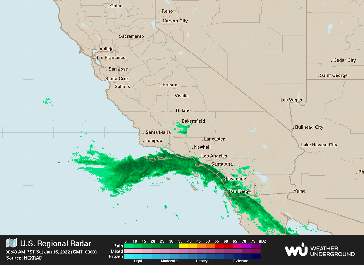 |
| Radar loop at 9:45 AM Saturday 1-15-2022 |


No comments:
Post a Comment