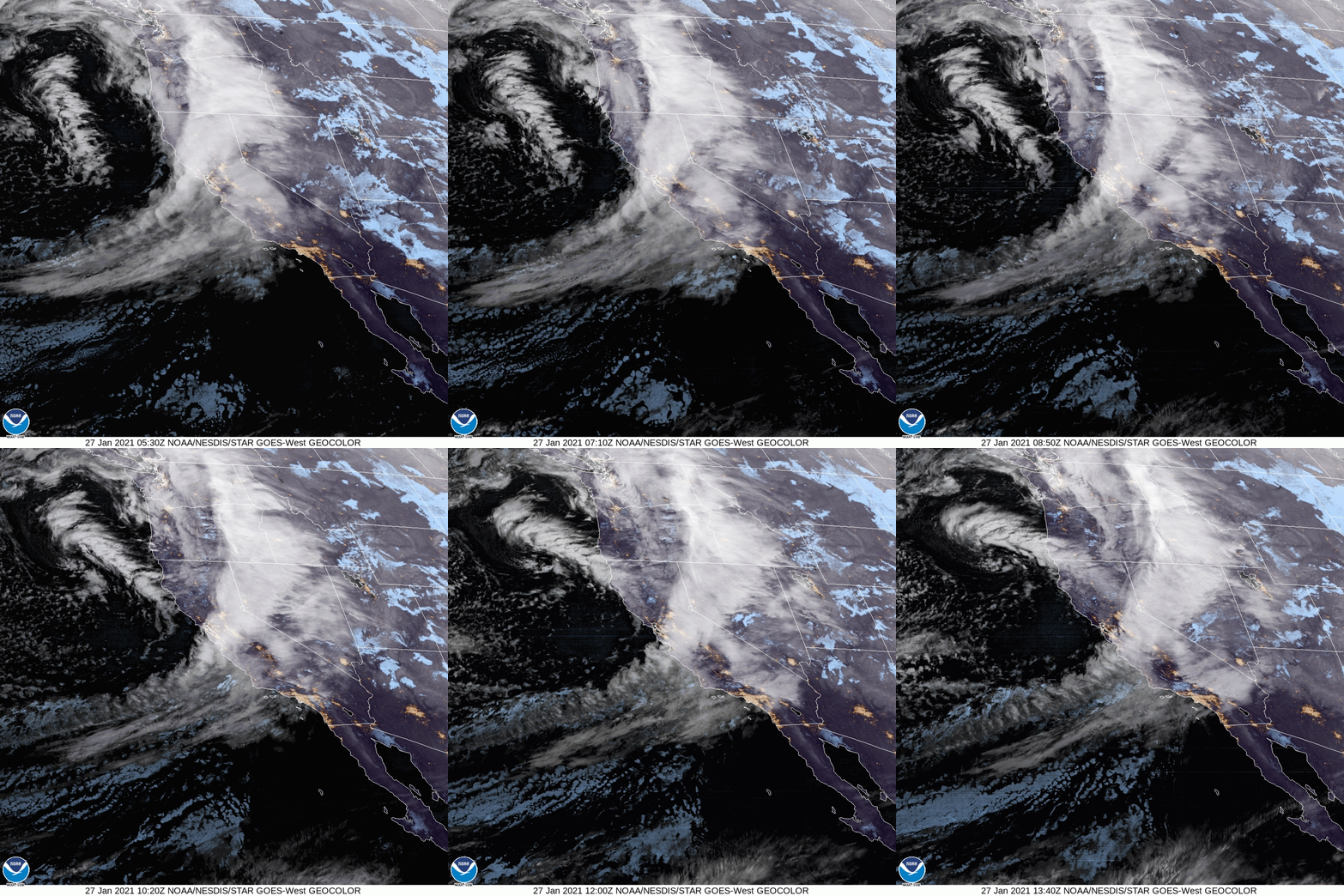
A storm system is currently churning off the California coast. This morning's satellite loop shows the center just west of Eureka, CA. The radar loop shows a steady stream of moderate to heavy rain affecting the central region of the state.
A reinforcing charge of energy will dive out of Canada and push this rain into our area. A line of rain and isolated thunderstorms will overspread the area Thursday evening. Current data is showing a 9 PM to midnight arrival time. Gusty winds and hail could accompany the strongest storms.
Periods of rain and isolated downpours will then be possible through the day on Friday. Isolated thunderstorms with hail are also possible. The rain chance quickly diminishes Friday night and the weekend will be dry. Rain totals will range from 1" to 2" with isolated areas receiving up to 3", especially in the mountains.
Snow levels will start high Thursday evening: roughly 7,000 to 8,000 feet. Levels will quickly drop as the core of the system settles into the region on Friday. They could drop as low as 4,000 by midday Friday. The highest mountain tops could pick up an additional few inches of accumulation. I've posted the latest computer projection for snow accumulations below.
 |
| Satellite loop at 8 AM |
 |
| Radar loop at 8 AM |
 |
| Computer projection for rainfall through Friday night |
 |
| Computer projection for snow accumulation through Friday night |

No comments:
Post a Comment