
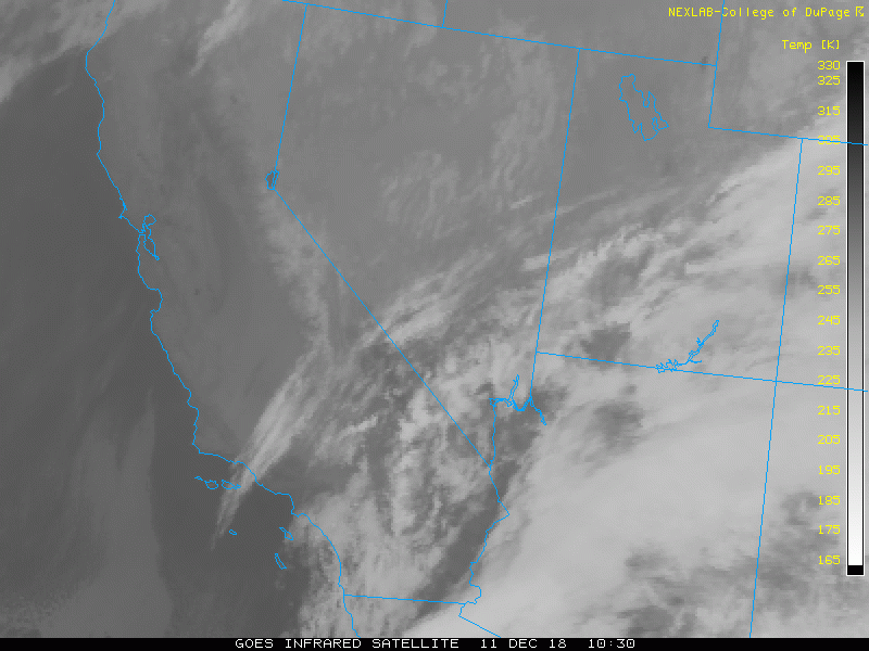
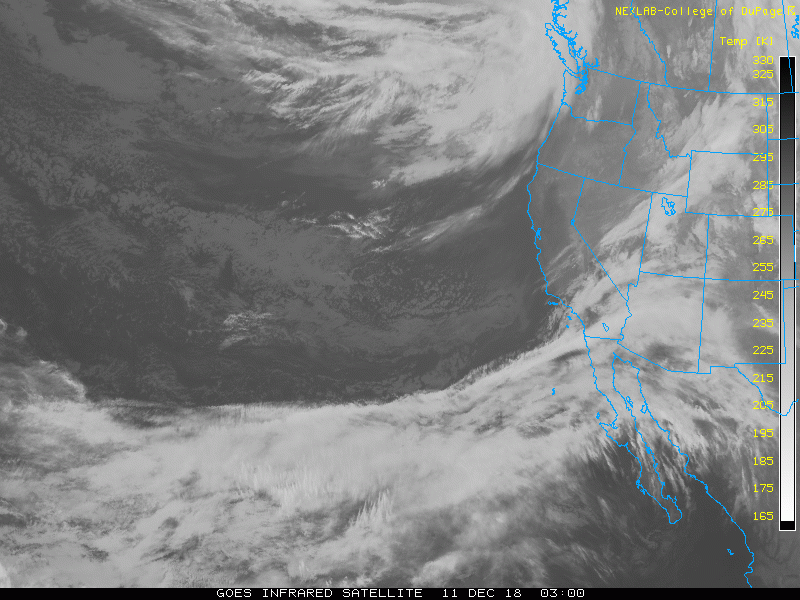
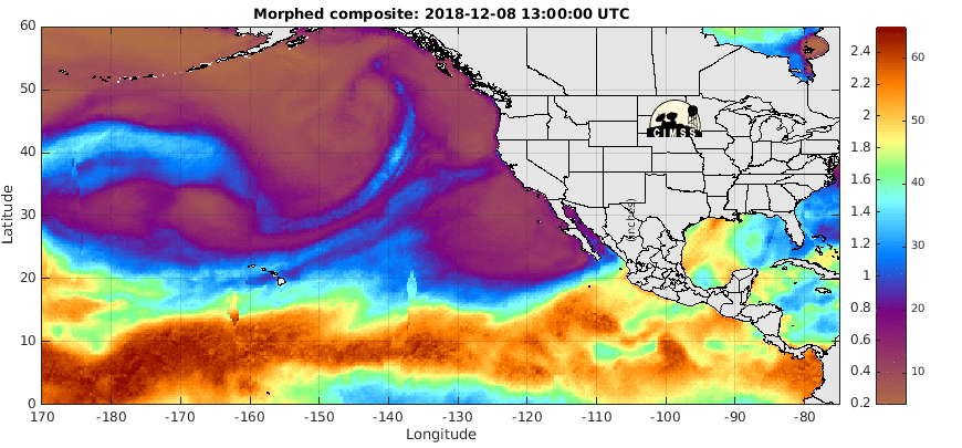
Unfortunately this system isn't too strong. There also isn't much moisture available to produce any instability or rain. You can see on the third satellite loop below that all the moisture (indicated by blue, green and red) is staying bottled up in the tropics. Chances for rain today are extremely slim. I'm expecting skies to clear this afternoon and evening.
We will see the same thing happen on Friday and then again next Sunday/Monday. Storm systems will approach our area and weaken, so we will see clouds, but probably no rain. Right now I'm leaving the rain chances at 20% for both days, but that might be generous.
Ultimately we will need to see a shift in the weather pattern to allow a deeper and stronger storm to bring rain back to San Diego.


No comments:
Post a Comment