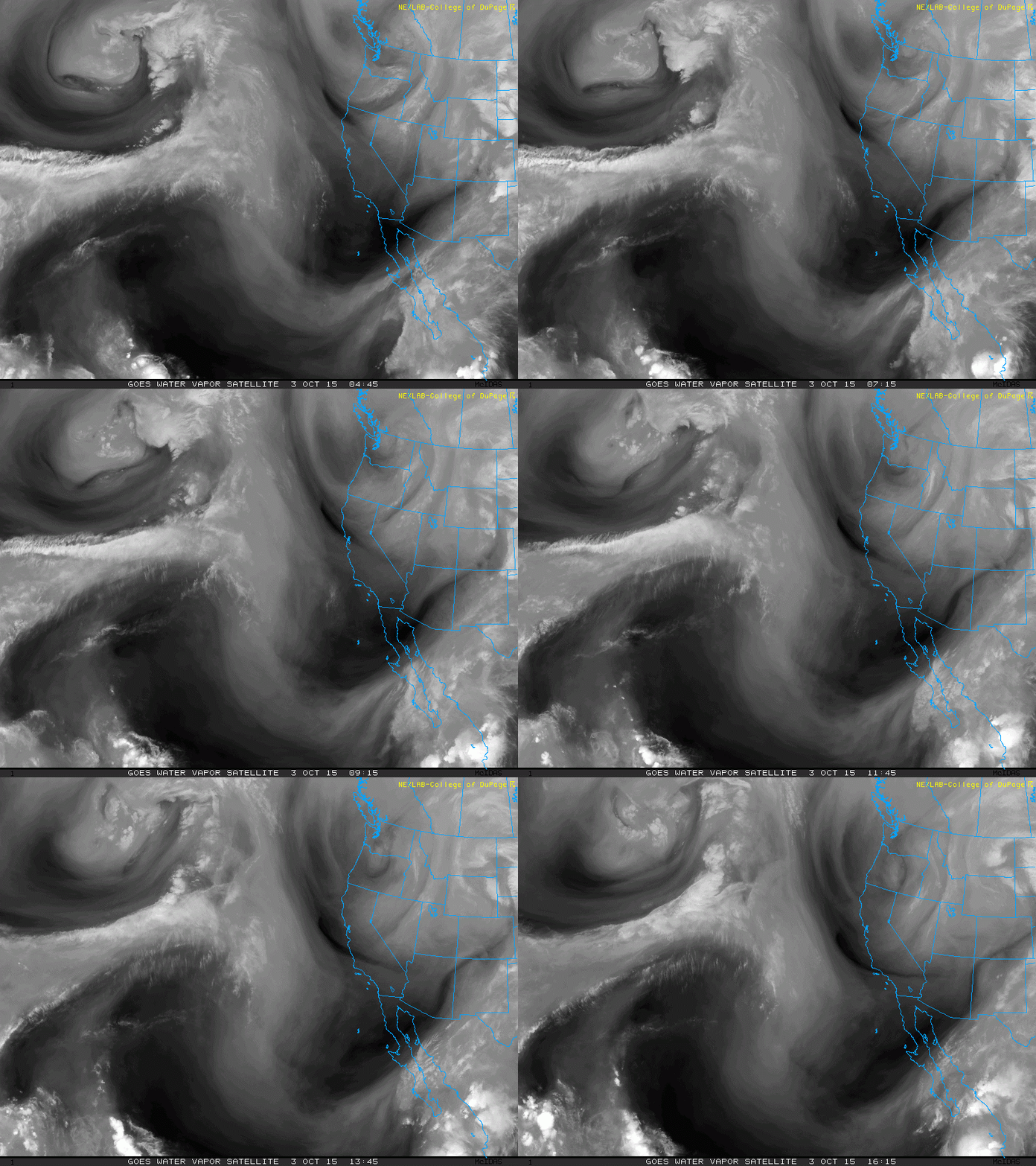
The next storm system is currently passing the Pacific Northwest this morning. You can see the spin in the atmosphere over Oregon on the water vapor satellite loop below:
A few showers will arrive this evening and tonight. Then we will have a chance for spotty on-and-off showers through the day on Sunday. I want to emphasize that it won't be a continuous all day rain event, though if you are going to be outside, you should plan accordingly.
There will be just enough instability in the atmosphere that an isolated downpour or thunderstorm will be possible. Winds will also strengthen on Sunday, especially in the mountains, where gusts could reach 40-50 mph.
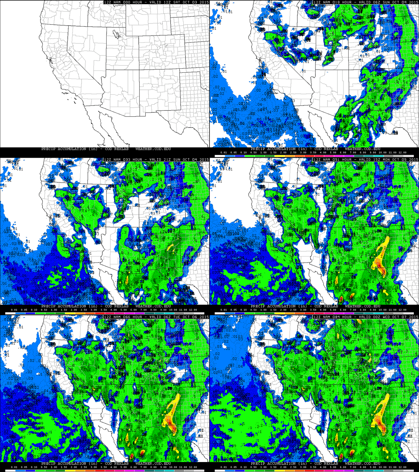
Isolated showers will still be possible Monday. Two-day rain totals will be 0.1-0.5" (map below).
ADVERTISEMENT
FORECAST
BLOG ARCHIVE
- ▼ 2015 (118)


No comments:
Post a Comment